Leonida vs Los Santos: What Can and Cannot Be Compared Yet
Every 'GTA 6 map is X times bigger' headline rests on an estimate nobody has verified. What is actually comparable between the two maps, and what is guesswork dressed as measurement.
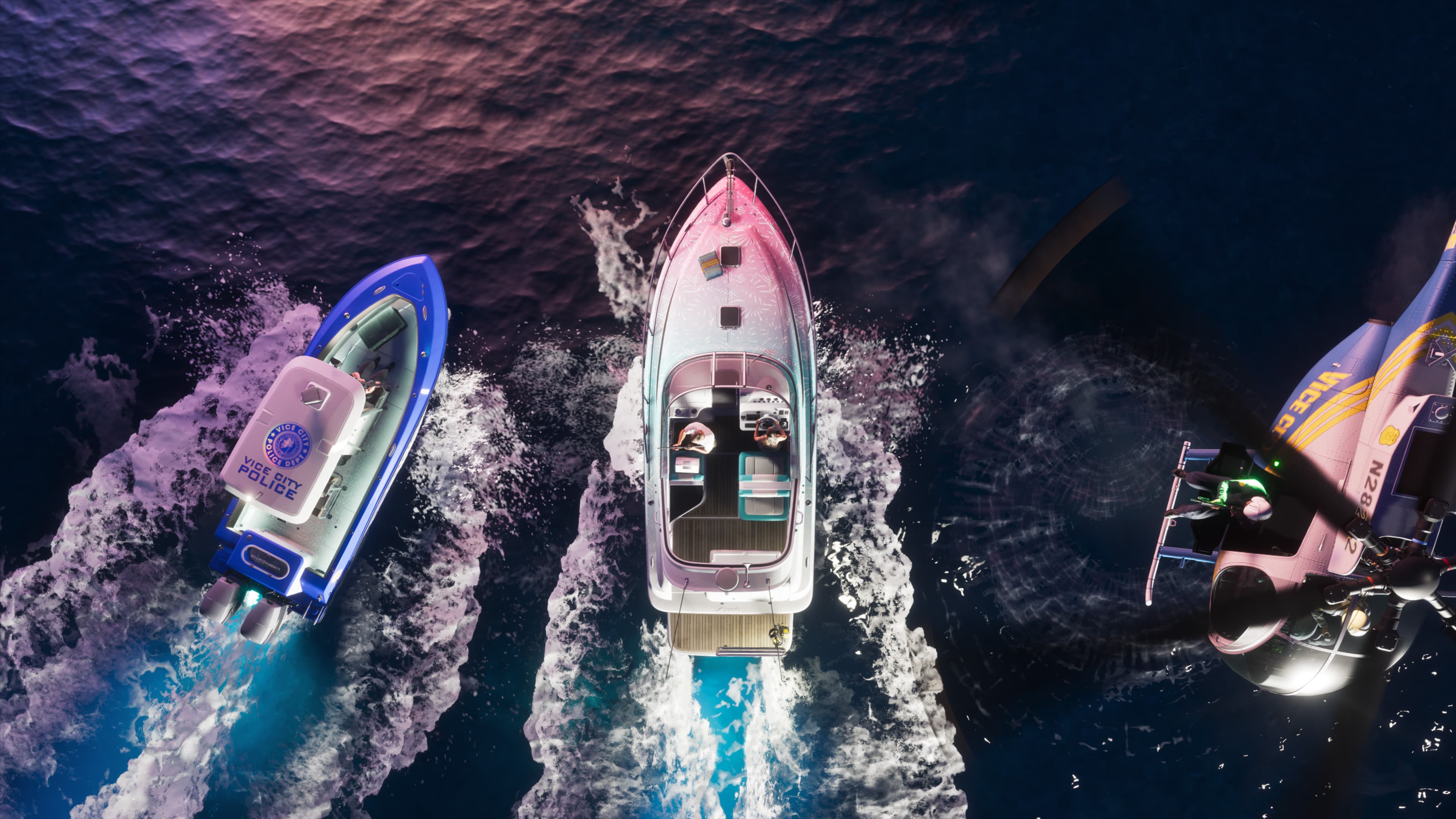
The most repeated GTA VI statistic is a size multiple, and it is the least supported thing anyone says about this game. Rockstar has never published a map area for GTA VI. It never published one for GTA V either — the widely quoted 75 square kilometres is itself a community measurement.
Every 'GTA 6 is N times bigger than GTA 5' headline is an estimate divided by an estimate. Neither number came from Rockstar, and the error bars on both are large enough to swallow the conclusion.
What we can genuinely compare
Some comparisons rest on published facts and are worth making. They are all structural rather than numerical.
| Dimension | GTA V (2013) | GTA VI |
|---|---|---|
| Setting | San Andreas — a California analogue | Leonida — a Florida analogue |
| Named regions | Los Santos, Blaine County, Mount Chiliad area | Six named: Vice City, the Keys, Port Gellhorn, Mount Kalaga, Grassrivers, Ambrosia |
| Named neighbourhoods | Many, by launch | Ocean Beach, Little Cuba, Tisha-Wocka, VC Port, Stockyard, Southside and more |
| Urban centres | One | At least two — Vice City and Port Gellhorn |
| Protagonists | Three | Two |
| Water as a region | Present, secondary | Central — an island chain and a wetland |
| Published map area | Never official | Never official |
| Launch platforms | PS3, Xbox 360 | PS5, Xbox Series X|S |
The row that actually matters is the third. GTA V had one city and a large rural remainder. GTA VI has at least two built-up centres and four distinct non-urban regions, all named by the studio. That is a different map structure, and it is a claim you can make without measuring anything.
Why area is the wrong metric anyway
Even if someone handed you accurate square kilometres for both maps, the comparison would tell you less than you think. Open-world maps are experienced as travel time and density, not as area.
- A map that is half water can be enormous by area and small by content.
- Vertical space — buildings you can enter, underwater volume — does not appear in a flat area figure at all.
- Interior count matters more to how big a city feels than block count does.
- Travel time depends on road layout and vehicle speed, not on distance.
- Density of things worth stopping for is what people actually mean when they say a map feels big.
Where the estimates come from
It is worth knowing the method, because it explains why the numbers vary so much. Community estimates are built one of three ways, and none of them are measurements.
| Method | How it works | Main weakness |
|---|---|---|
| Leak-derived | Reading coordinates and terrain data out of the 2022 development build | The build predates the finished game by years; map bounds change constantly in development |
| Landmark matching | Identifying real-world locations in trailers and scaling to their real distances | Games compress geography aggressively; the scale factor is itself a guess |
| Region counting | Counting named regions and assuming an average size | Assumes regions are similar in size, which nothing supports |
Careful people using these methods produce ranges, and the ranges overlap poorly. Headlines take the largest number in the widest range and drop the range.
The one honest thing you can say
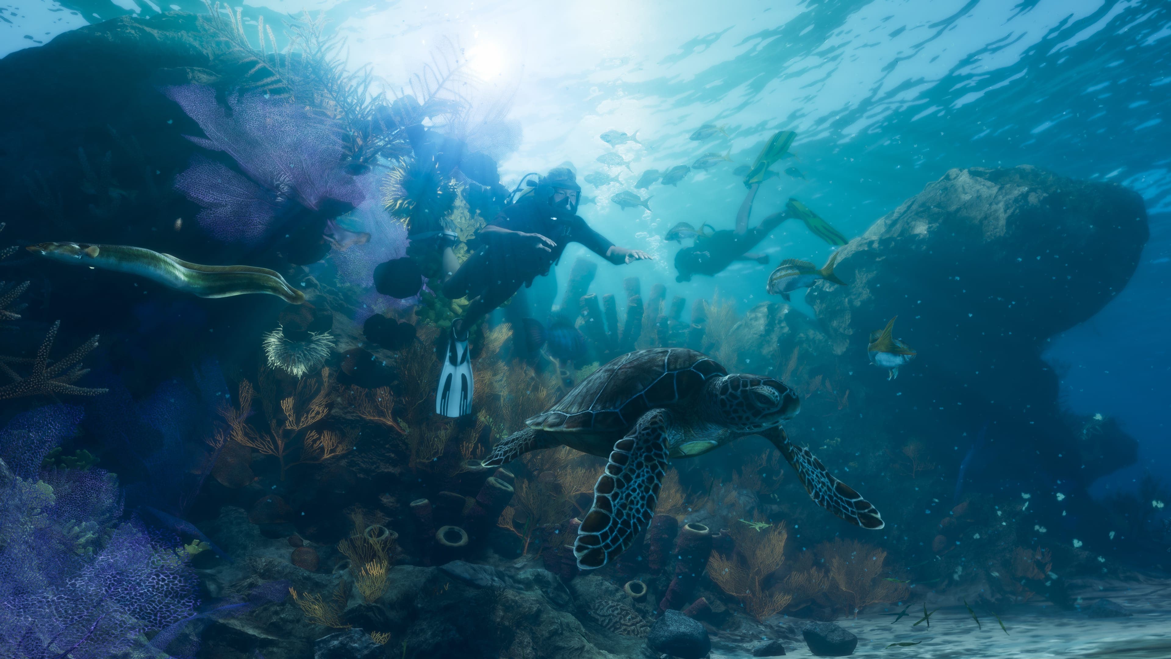
Six named regions, at least two urban centres, an island chain, a wetland and a mountain park, on hardware two generations ahead of GTA V's launch platforms. That is a map with more distinct environment types than any previous Rockstar game.
Whether it is bigger in square kilometres than San Andreas is unknown, unmeasured, and considerably less interesting than the structural difference.
What would settle it
- Rockstar publishing a map, which the studio has done in the final weeks before previous launches.
- The in-game map screen appearing in the August 27 extended look or later marketing.
- Post-launch measurement by the community, which is how every previous figure was produced.
- A physical map insert with the retail copy, which Rockstar has included before.
If a map appears in the extended look, that single frame will be worth more than three years of estimates. It is one of the specific things to watch for on August 27.
What the named neighbourhoods add
Since the edition material was published, Leonida has considerably more named geography than it did after two trailers. None of it came from a map, and almost all of it came from product descriptions.
| Place | Where it was named | What is there |
|---|---|---|
| Ocean Beach | Vice City description; the Vintage pack garage | Pastel art deco hotels, white sand |
| Little Cuba | Vice City description | Panaderias |
| Tisha-Wocka flea market | Vice City description | Bootleg brands |
| VC Port | Vice City description | Described as the cruise ship capital of the world |
| Southside Vice City | PTT Youngin$ raid description | A gang compound |
| Stockyard | Stock 305 and Electric Fang descriptions | Streetwear and tattoo businesses |
| Washington Beach | Squalo description | A dock |
| Watson Bay | Paradise Garage description | Vehicle storage, weapon locker, fencing |
| Lake Leonida | Rideout Customs description | A mod shop |
| Gambit Bay | Squalo description | Fishing water |
| Shore Drive | Grotti Cheetah description | Referenced as an inspiration |
| Vercetti Estate | Morgan revolver description | Source of the revolvers |
Twelve named places, none of which appeared in a trailer. It is a strange source for map information and currently the richest one available.
Density is measurable; area is not
One thing the screenshots genuinely support is a comparison of urban density, and it is more informative than any area estimate would be.
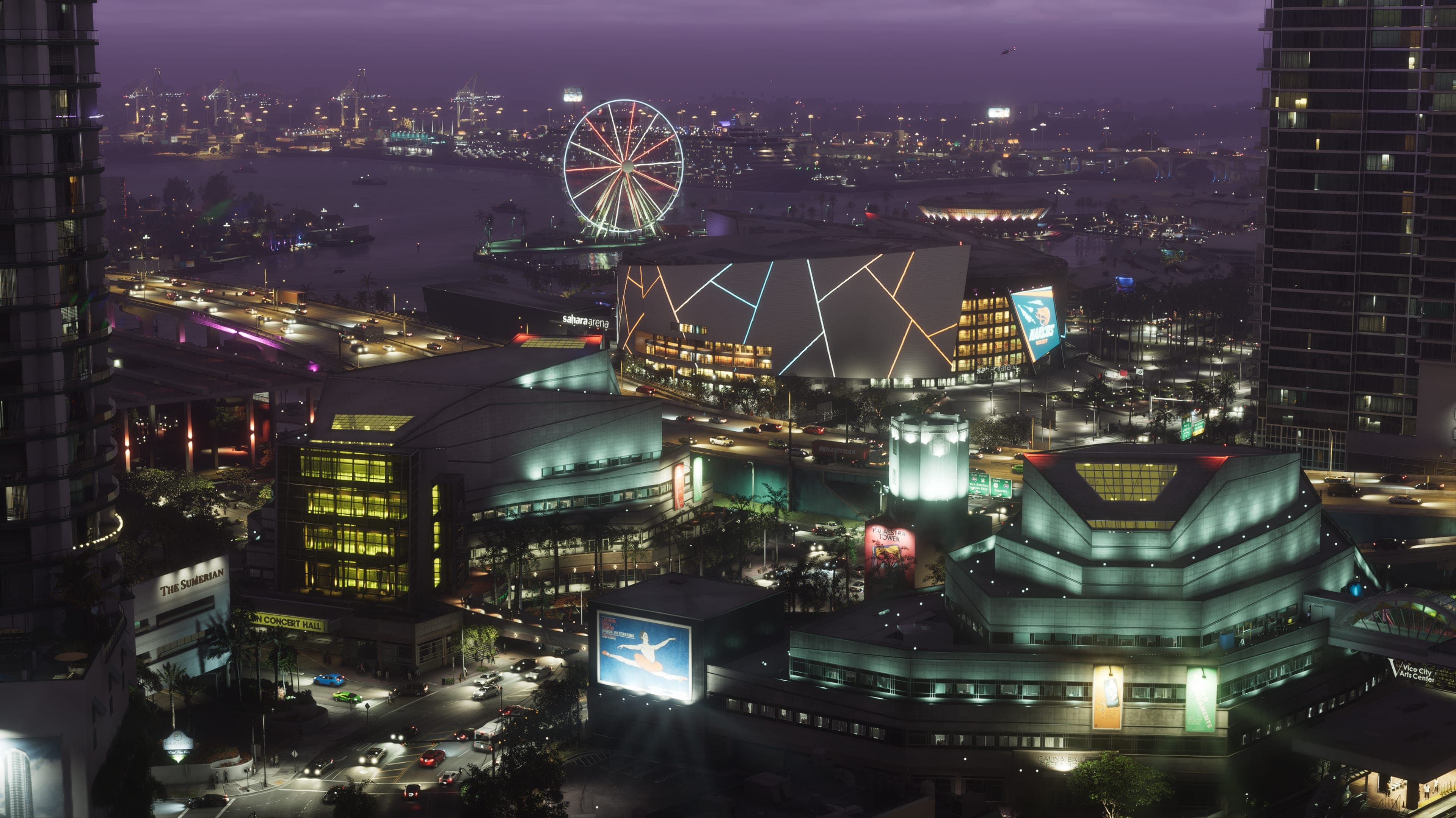
- Vice City's aerial screenshots show continuous mid-rise development with towers behind, rather than a downtown core surrounded by suburbs.
- The named neighbourhoods describe distinct characters - art deco beachfront, a Cuban district, a flea market, a working port - which implies real differentiation rather than reskinned blocks.
- Port Gellhorn's frames show a second built-up area with an entirely different building stock.
- The stilt-house community in Grassrivers shows settlement outside both cities.
- Every rural region has visible built structures, so none of them is empty terrain.
That is a map with at least four distinct settlement types. GTA V had two. Whichever is larger in square kilometres, they are not the same kind of thing.
Why the leak-derived figures are the weakest
Most circulating size estimates trace back to the September 2022 development build, and that provenance deserves more scepticism than it usually gets.
| Problem | Effect on the estimate |
|---|---|
| The build predates launch by over four years | Map bounds routinely change through development |
| Development maps include out-of-bounds working space | Measured area can exceed the playable area substantially |
| Terrain existed without content on it | Area measured is not area that ships |
| Two delays followed, both citing additional work | Whatever was measured has since changed |
A number derived from a 2022 build, quoted in 2026 as a fact about the finished game, has passed through four years of development it cannot account for. Treat every such figure as an artefact of that build rather than a measurement of GTA VI.
Nobody knows. Rockstar has published no figure, and every number in circulation is a community estimate derived from a leaked development build or trailer landmark matching.
Probably, given six named regions and two urban centres, but this has not been measured and Rockstar has not commented.
Community measurement, not Rockstar. It has always been an approximation.
Less than density and travel time. A large map with nothing in it plays smaller than a compact one that is full.
Rockstar has released maps close to launch for previous titles, sometimes as a physical insert. Nothing has been announced for GTA VI.
Keep reading
How Big Is the GTA 6 Map? What We Can Actually Say
The 1.5–2× estimate, where it comes from, why no official number exists, and why square-mileage figures quoted to two decimal places are made up.
Read more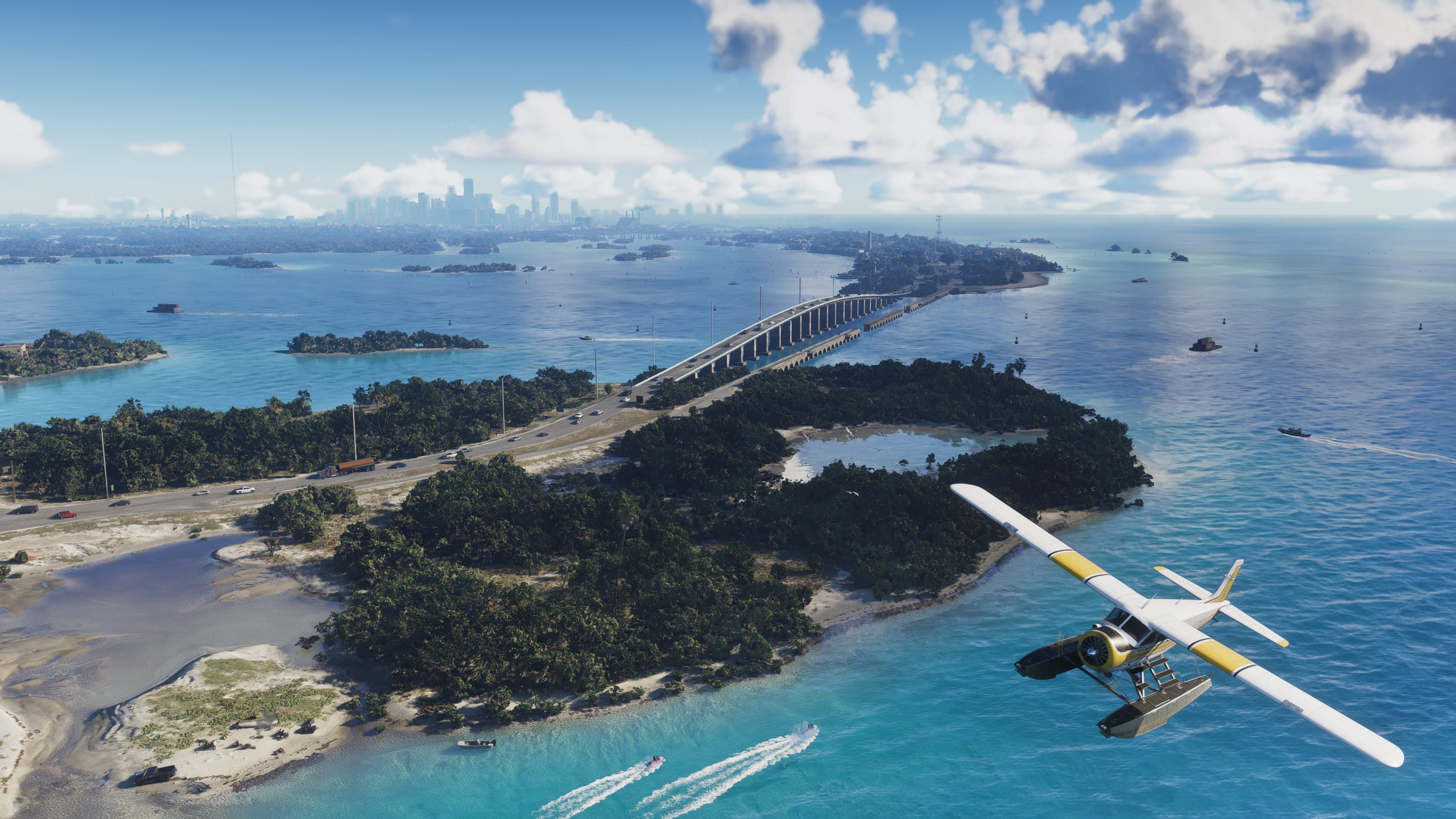
Leonida Map: All Six Confirmed Regions
Vice City, Leonida Keys, Grassrivers, Port Gellhorn, Hamlet, and Kelly County - what Rockstar has said about each, and how the state fits together.
Read more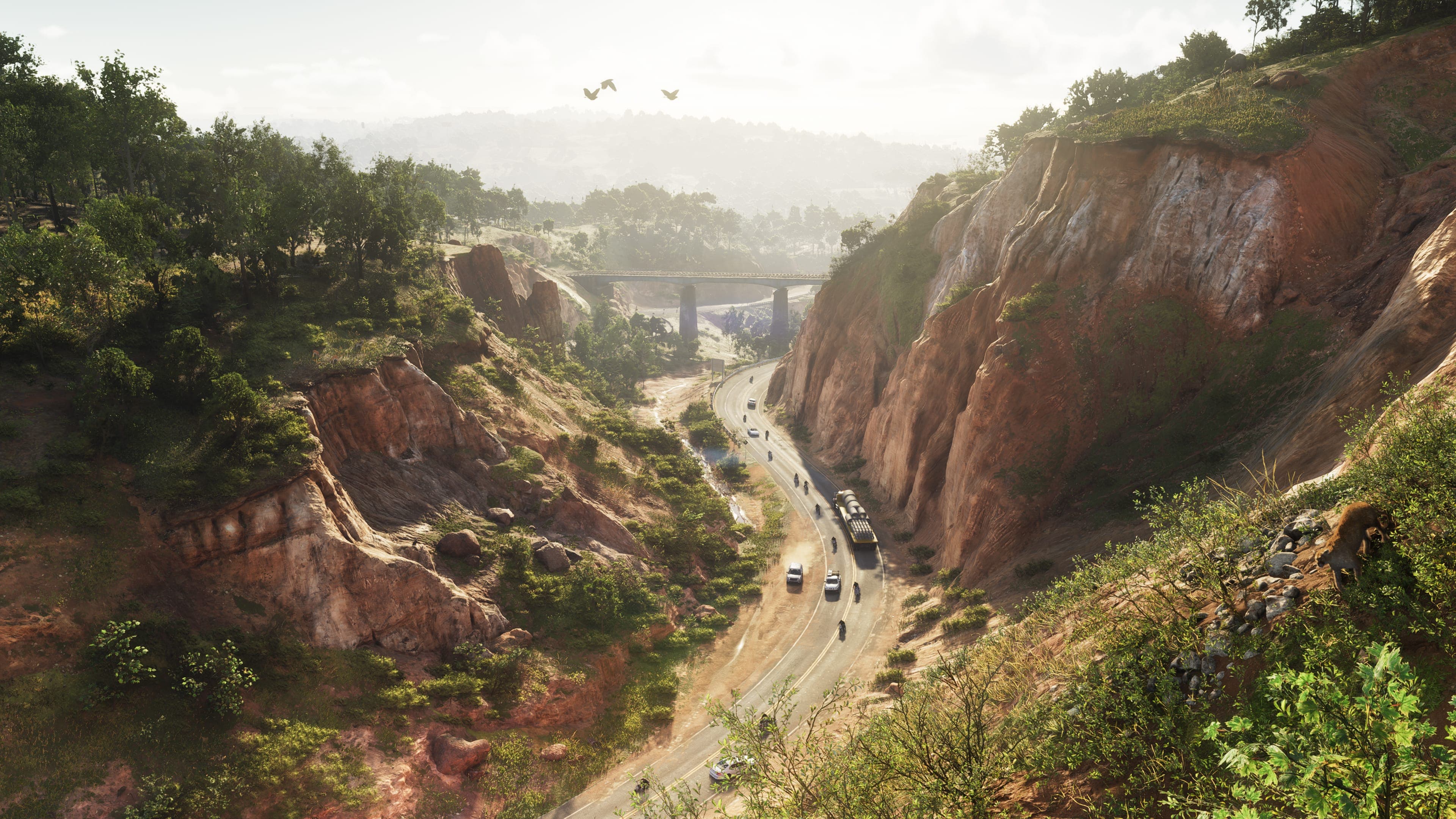
Mount Kalaga National Park: Leonida's Wilderness Region
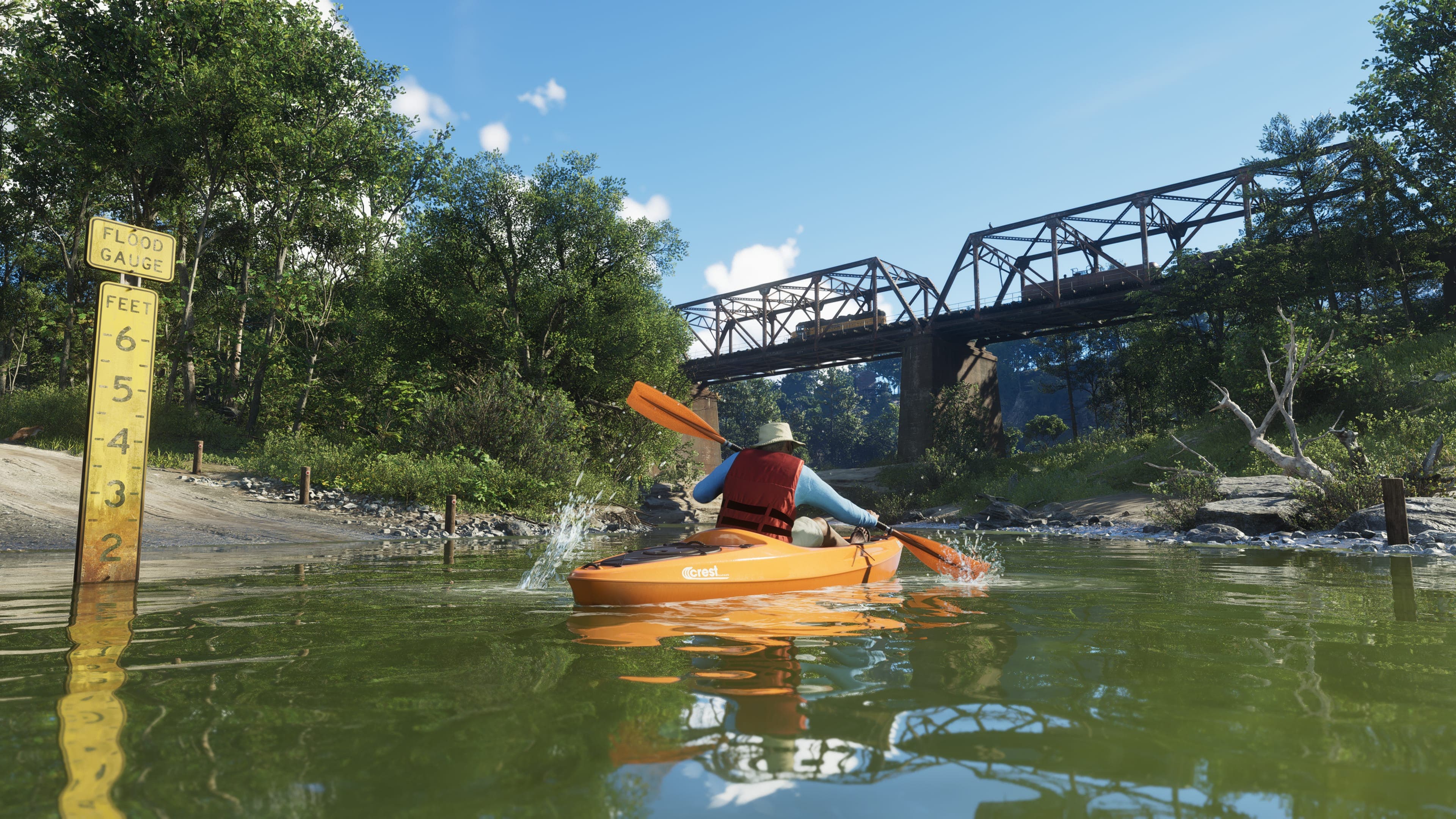
Canyon highways, pine forest, bears at the riverbank and a helicopter over the ridgeline. What Rockstar's screenshots establish about the north — and why it does not look like Florida.
Read more