How Big Is the GTA 6 Map? What We Can Actually Say
The 1.5–2× estimate, where it comes from, why no official number exists, and why square-mileage figures quoted to two decimal places are made up.
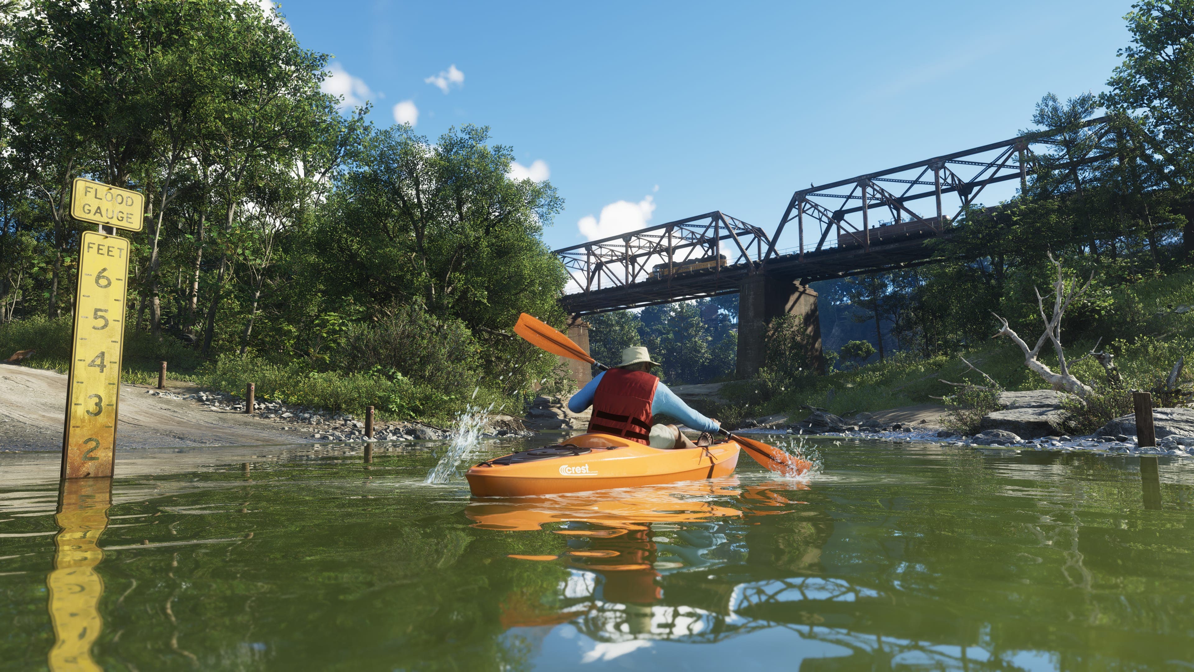
Rockstar has never published a size for the GTA VI map. Not in square miles, not in square kilometres, not as a multiple of any previous game. Every number you have seen is an estimate, and knowing where those estimates come from is the difference between a useful ballpark and a fabricated statistic.
Any figure stated precisely - '81.24 square miles', '3.4× GTA V' - is invented. There is no measurement to be that precise about.
The estimate that is actually reasonable
The widely repeated figure is roughly 1.5 to 2 times the size of GTA V's map. That range comes from community analysis of trailer geography - matching shorelines, comparing landmark spacing, and reasoning from the number of named regions. It is a genuine estimate produced by people doing real work, and it is still an estimate.
| Claim | Source | Reliability |
|---|---|---|
| 1.5–2× the size of GTA V | Community trailer analysis | Reasonable ballpark |
| Six named regions | Rockstar | Confirmed |
| Specific square mileage | Nobody credible | Fabricated |
| 'Biggest map Rockstar has ever made' | Inference | Likely but unstated |
Why map size is a bad metric anyway
Even if Rockstar published an exact number, it would tell you less than people expect. Red Dead Redemption 2's map is larger than GTA V's and feels slower, because density and traversal speed matter more than area. A state with an island chain and a wetland interior will feel enormous regardless of its footprint, because the routes between places are indirect.
- Traversal speed - a map crossed by boat feels far larger than the same area crossed by highway.
- Density - crowd and building density changes how long a district takes to move through.
- Route directness - islands and wetland force detours that raw area doesn't capture.
- Verticality - interiors and elevation add space that a top-down measurement misses.
What we can say with confidence
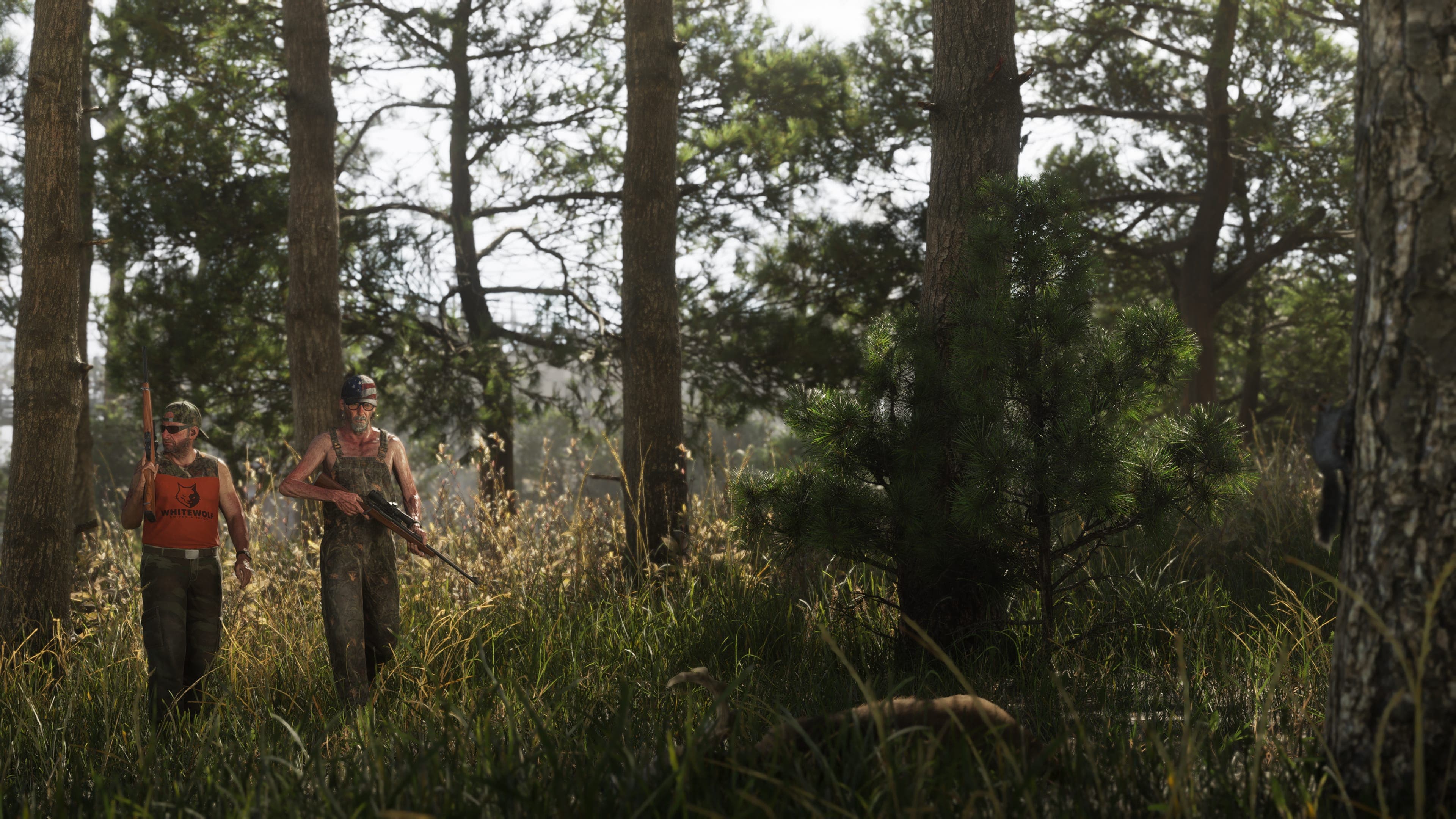
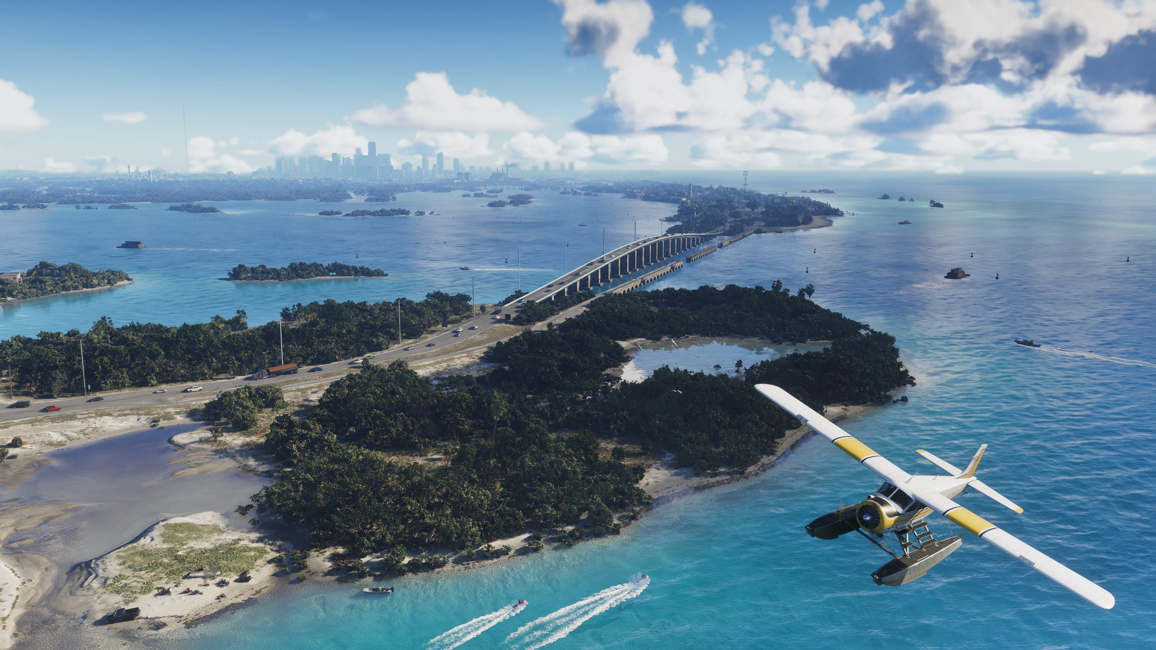
Stripping out everything unverified, three claims survive. The setting is a state rather than a city. It contains six named regions spanning urban, coastal, wetland, island, and rural terrain. And two of those regions are primarily navigated by water. That combination alone puts it well beyond GTA V's structure, without needing a number attached.
Six officially named regions: Vice City, Leonida Keys, Grassrivers, Port Gellhorn, Hamlet, and Kelly County.
The three estimate methods, and their failure modes
Every circulating figure comes from one of three approaches. None of them measures the finished game, and each fails in a different direction.
| Method | How it works | How it fails |
|---|---|---|
| Leak-derived | Reading terrain bounds from the 2022 development build | Four years and two delays of development since; dev maps include out-of-bounds space |
| Landmark matching | Identifying real places in trailers and scaling to real distances | Games compress geography; the scale factor is itself assumed |
| Region counting | Six named regions multiplied by an assumed average size | Assumes regions are comparable, which nothing supports |
Why the GTA V baseline is also an estimate
The commonly quoted 75 square kilometres for GTA V was never published by Rockstar. It is a community measurement, and it varies between sources depending on whether water and out-of-bounds terrain are counted.
That means every 'GTA 6 is N times larger' claim divides one estimate by another, and inherits the error bars of both. The resulting number carries no more precision than a guess.
If a size comparison does not tell you where both of its numbers came from, it is not a comparison. It is an assertion with arithmetic attached.
Better questions than area
- How long does it take to drive from Vice City to Mount Kalaga? Travel time is what players actually experience.
- How many interiors can you enter? Density of usable space matters more than ground coverage.
- How much of the map is water, and how much of that water is usable? An island chain and a wetland change the answer substantially.
- How many distinct settlements are there? Rockstar has shown at least four settlement types.
- Is there vertical space? Underwater volume and building interiors do not appear in any area figure.
None of those have answers yet either, but they are the questions that would actually tell you something. Area is the metric people reach for because it produces a number, not because it is informative.
Roughly one and a half to two times GTA V, based on community estimates. That is the most precise honest answer available.
Historically, no. Rockstar has not published official map dimensions for GTA V or Red Dead Redemption 2 either.
Almost certainly, but Rockstar hasn't claimed it and the comparison to Red Dead Redemption 2 depends on how you measure water.
Unclear, and this is exactly why community estimates vary. Counting the Keys' surrounding water changes the figure dramatically.
Keep reading
Leonida Map: All Six Confirmed Regions
Vice City, Leonida Keys, Grassrivers, Port Gellhorn, Hamlet, and Kelly County - what Rockstar has said about each, and how the state fits together.
Read more
Vice City Districts: Ocean Beach, Little Cuba, and VC Port
A district-by-district look at Leonida's largest city, based strictly on locations Rockstar has named or shown - and nothing from the leak.
Read more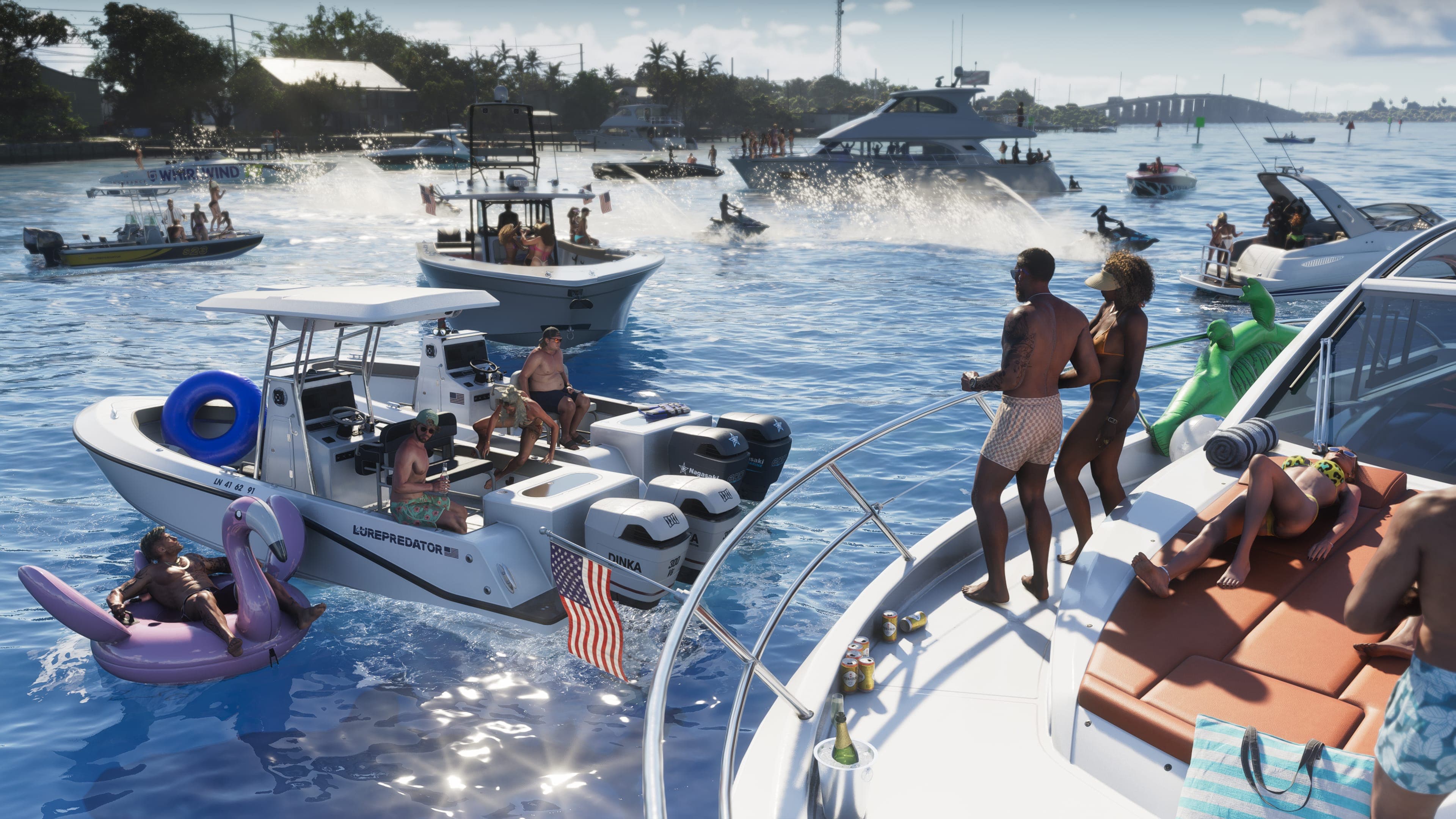
Boats, Airboats, and the Cargo Ship: Water Travel in Leonida
Two of six regions are navigated by water. Why that's a structural change for the series, and what Rockstar has actually shown.
Read more